
Country United States Time zone Eastern (EST) (UTC-5) FIPS code 39-40670 Elevation 244 m Local time Wednesday 2:01 PM | ZIP codes 44060, 44094 GNIS feature ID 1063113 Population 647 (2013) Area code 440 | |
 | ||
Weather -4°C, Wind NW at 31 km/h, 61% Humidity Area 14.63 km² (14.43 km² Land / 21 ha Water) Neighborhoods Hilo Farm, Little Mountain Farms, River Oaks, Kingwood, Chardonwood Estates, Merkel Acres | ||
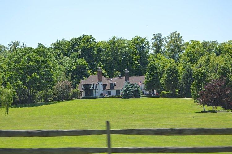
Kirtland Hills is a village in Lake County, Ohio, United States and an affluent rural suburb of Cleveland. The population was 646 at the 2010 census.
Contents
Map of Kirtland Hills, OH 44060, USA
Geography
Kirtland Hills is located at 41°38′33″N 81°19′4″W (41.642530, -81.317879).
According to the United States Census Bureau, the village has a total area of 5.65 square miles (14.63 km2), of which 5.57 square miles (14.43 km2) is land and 0.08 square miles (0.21 km2) is water.
2010 census
As of the census of 2010, there were 646 people, 245 households, and 200 families residing in the village. The population density was 116.0 inhabitants per square mile (44.8/km2). There were 272 housing units at an average density of 48.8 per square mile (18.8/km2). The racial makeup of the village was 96.7% White, 1.7% Asian, and 1.5% from two or more races. Hispanic or Latino of any race were 2.8% of the population.
There were 245 households of which 29.4% had children under the age of 18 living with them, 71.4% were married couples living together, 4.5% had a female householder with no husband present, 5.7% had a male householder with no wife present, and 18.4% were non-families. 14.7% of all households were made up of individuals and 9.7% had someone living alone who was 65 years of age or older. The average household size was 2.64 and the average family size was 2.93.
The median age in the village was 48 years. 22.4% of residents were under the age of 18; 5.4% were between the ages of 18 and 24; 15.4% were from 25 to 44; 37.7% were from 45 to 64; and 19.2% were 65 years of age or older. The gender makeup of the village was 48.6% male and 51.4% female.
2000 census
As of the census of 2000, there were 597 people, 223 households, and 179 families residing in the village. The population density was 106.9 people per square mile (41.3/km²). There were 242 housing units at an average density of 43.3 per square mile (16.7/km²). The racial makeup of the village was 98.16% White, 0.34% African American, 0.17% Asian, and 1.34% from two or more races. Hispanic or Latino of any race were 0.50% of the population. 17.7% were of Italian, 16.8% German, 12.5% Irish, 8.4% English, 5.4% American, 5.4% Slovene and 5.0% Hungarian ancestry according to Census 2000.
There were 223 households out of which 29.6% had children under the age of 18 living with them, 74.0% were married couples living together, 4.9% had a female householder with no husband present, and 19.3% were non-families. 14.8% of all households were made up of individuals and 6.3% had someone living alone who was 65 years of age or older. The average household size was 2.68 and the average family size was 2.99.
In the village, the population was spread out with 24.0% under the age of 18, 3.9% from 18 to 24, 22.6% from 25 to 44, 36.5% from 45 to 64, and 13.1% who were 65 years of age or older. The median age was 45 years. For every 100 females there were 92.6 males. For every 100 females age 18 and over, there were 99.1 males.
The median income for a household in the village was $112,421, and the median income for a family was $144,134. Males had a median income of $87,424 versus $37,083 for females. The per capita income for the village was $78,896. About 2.1% of families and 3.2% of the population were below the poverty line, including none of those under age 18 and 4.3% of those age 65 or over.