
Urban-type settlements 2 Area 3,430 km² | Rural localities 25 | |
 | ||
Municipally incorporated as | ||
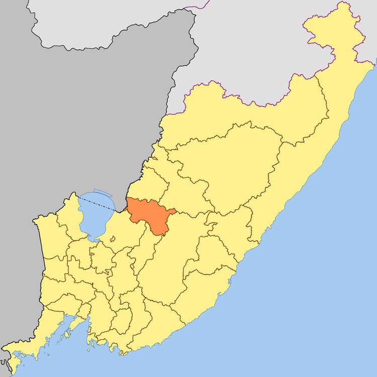
Kirovsky District (Russian: Ки́ровский райо́н) is an administrative and municipal district (raion), one of the twenty-two in Primorsky Krai, Russia. It is located in the west of the krai. The area of the district is 3,483.9 square kilometers (1,345.1 sq mi). Its administrative center is the urban locality (an urban-type settlement) of Kirovsky. Population: 21,249 (2010 Census); 24,618 (2002 Census); 29,516 (1989 Census). The population of the administrative center accounts for 42.6% of the district's total population.
Contents
Map of Kirovsky District, Primorskiy Kray, Russia
Geography
Forests occupy half of the district's territory.
Economy and tourism
Agriculture, beekeeping, and timber-cutting are considered to have potential.
Health resorts development dominates the economy of the district. Narzan-type Shmakovskiye mineral springs (hydrocarbonated and calcium-magnesium), with limpid water rich in carbonic acid, are well-known. Shmakovka is a unique health-center complex where is situated Imeni Pyatidesyatiletiya Oktyabrya Health Resort for three hundred people.
The district's landmarks include a tower-chapel located on one of the highest viewpoints of the Shmakovka Resort.