Country United States ZIP codes 19708 Elevation 21 m | Time zone Eastern (EST) (UTC-5) Area code(s) 302 Local time Wednesday 1:13 PM | |
 | ||
Weather -3°C, Wind W at 32 km/h, 67% Humidity | ||
Kirkwood (also Kemps Corner or Saint Georges Station) is an unincorporated community in central New Castle County, Delaware, United States. It lies along Delaware Route 71, southwest of the city of Wilmington, the county seat of New Castle County. Its elevation is 69 feet (21 m). Although it is unincorporated, it has a post office, with the ZIP code of 19708.
Map of Kirkwood, DE 19701, USA
Kirkwood was named for Robert Kirkwood, a soldier who fought in the American Revolutionary War.
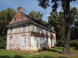
Correll's Farm and Lawn Supply, Dragon Run Farm, Lum's Mill House, McCoy House, Old Cann Mansion House, Old Post Office, and Point Farm are listed on the National Register of Historic Places.
References
Kirkwood, Delaware Wikipedia(Text) CC BY-SA
