
Country England | Status Parish | |
 | ||
Primary council East Riding of Yorkshire Region Yorkshire and the Humber Website Kirk Ella and West Ella Parish Council Weather 13°C, Wind W at 21 km/h, 58% Humidity | ||
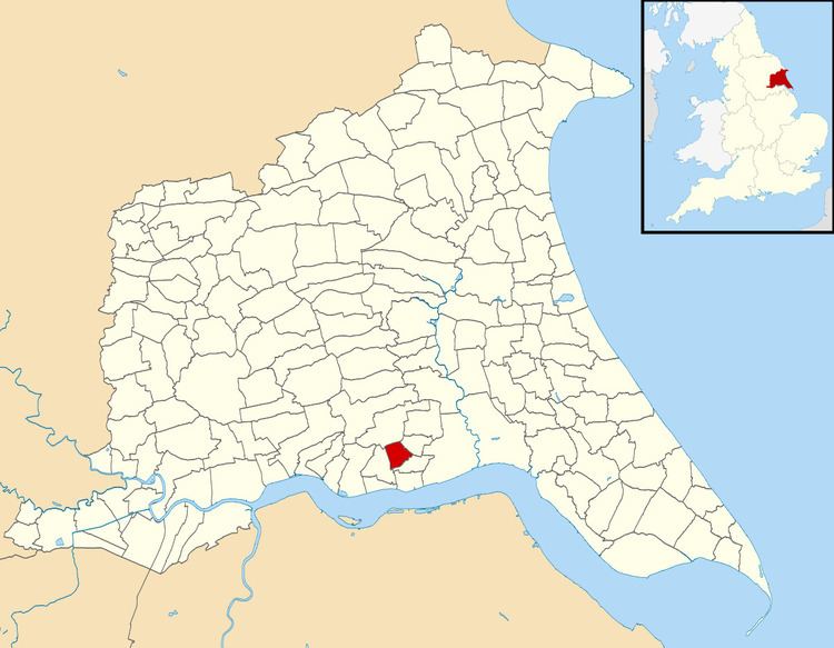
Kirk Ella and West Ella (or Kirk Ella parish) is a civil parish in the East Riding of Yorkshire, England. It is situated 5 miles (8 km) to the west of Kingston upon Hull city centre and contains the village suburb of Kirk Ella and the village of West Ella.
Geography
The civil parish is located at the northwestern edge of the suburbs of Kingston upon Hull, within the East Riding of Yorkshire. The parish is bounded by the former route of the Hull and Barnsley Railway to the northeast, including an embanked section, and part of the route converted to the B1232 road; by the A164 road to the west and northwest; and by the B1231 to the south.
The parish covers an area of 523.715 hectares (1,294.13 acres), and is situated at heights of between 10 and 60 metres (33 and 197 ft) above sea level, rising east to west.
Kirk Ella forms much of the eastern part of the parish, and its urban spread is contiguous with Willerby and Anlaby outside the parish to the northeast and east. The western part of the parish includes the small village of East Ella, and undeveloped land, including a golf course, and woods. The civil parishes of Anlaby with Anlaby Common, Swanland, Skidby and Willerby are to the south, west, northwest, and north east respectively.
According to the 2011 UK census, the parish had a population of 5,638, a decrease on the 2001 UK census figure of 5,661.