
District Rotenburg (Wümme) Time zone CET/CEST (UTC+1/+2) Area 16.14 km² Local time Tuesday 5:53 PM Dialling code 04289 | Elevation 24 m (79 ft) Postal codes 27412 Population 1,012 (31 Dec 2008) Postal code 27412 | |
 | ||
Weather 13°C, Wind W at 19 km/h, 70% Humidity | ||
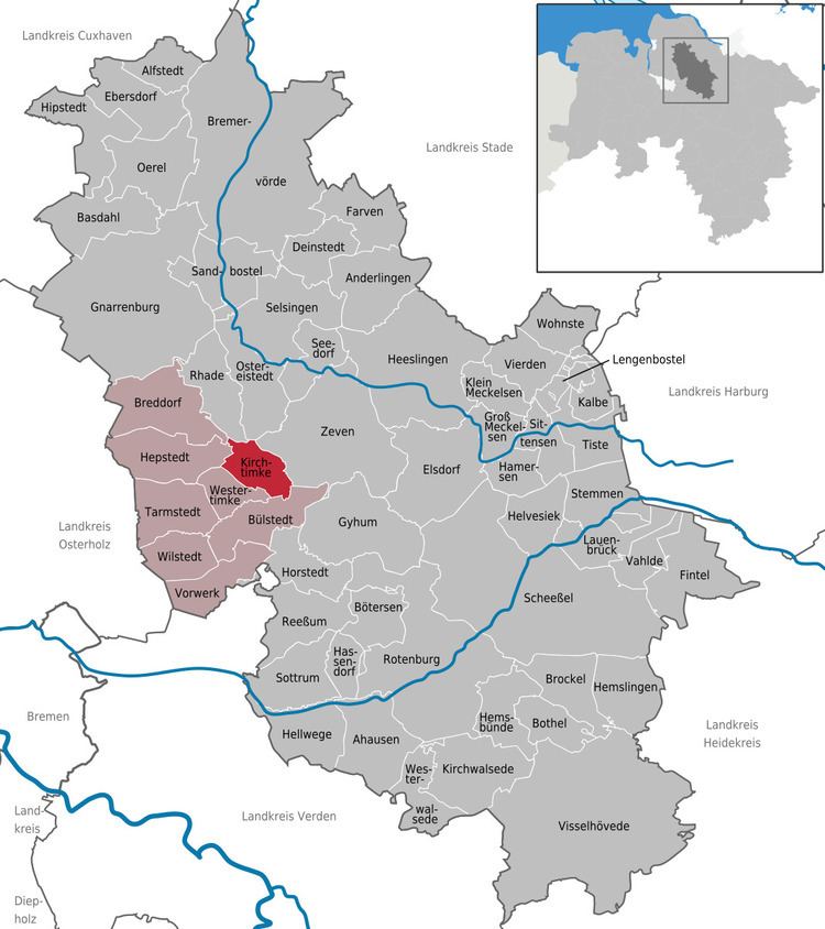
Kirchtimke is a municipality in the district of Rotenburg, in Lower Saxony, Germany.
Map of 27412 Kirchtimke, Germany
Kirchtimke belonged to the Prince-Archbishopric of Bremen, established in 1180. In 1648 the Prince-Archbishopric was transformed into the Duchy of Bremen, which was first ruled in personal union by the Swedish Crown - interrupted by a Danish occupation (1712–1715) - and from 1715 on by the Hanoverian Crown. In 1807 the ephemeric Kingdom of Westphalia annexed the Duchy, before France annexed it in 1810. In 1813 the Duchy was restored to the Electorate of Hanover, which - after its upgrade to the Kingdom of Hanover in 1814 - incorporated the Duchy in a real union and the Ducal territory, including Kirchtimke, became part of the new Stade Region, established in 1823.