
Department Bas-Rhin Population (2006) 547 Area 230 ha | Time zone CET (UTC+1) Local time Tuesday 5:47 PM | |
 | ||
Weather 14°C, Wind W at 6 km/h, 50% Humidity | ||
Kirchheim is a commune in the Bas-Rhin department in Grand Est in north-eastern France.
Contents
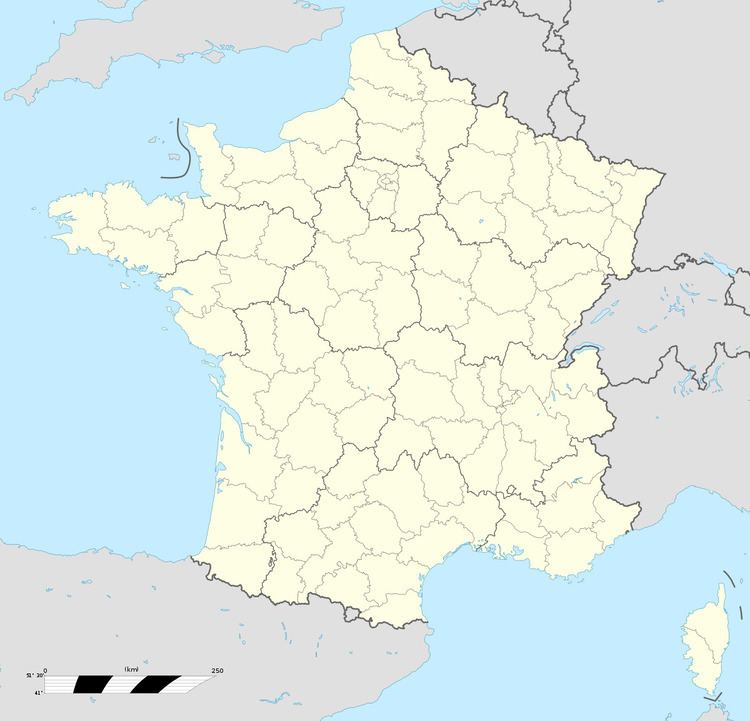
Map of 67520 Kirchheim, France
Geography
Kirchheim is positioned on the western edge of the Alsace plain where it meets the first foothills of the Vosges Mountains. It is 22 kilometres (14 mi) to the west of Strasbourg, 19 kilometres (12 mi) to the south-east of Saverne and 13 kilometres (8 mi) to the north of Molsheim. Adjacent communes are Marlenheim to the north, Odratzheim and Scharrachbergheim-Irmstett to the south and Wangen to the north-west.
The village lies within easy walking distance of the main road connecting Saverne to Strasbourg. The former railway line from Molsheim has been developed into a cycle path crossing the commune, but for non cyclists there is a bus service connecting with Strasbourg (route 207) and Molsheim (route 212), both services starting from Wasselonne a short distance to the north-west.
The eastern boundary of the commune is provided by the little River Mossig which flows from north to south. A remarkable feature of the ecosystem here is the Riparian zone which provides a biological corridor for the wild life. The commune's residents species include the Great Hamster of Alsace: the animals are threatened with extinction and therefore protected.
Most of the surrounding land of grassland or cultivated: to the south-east and to a limited extent to the north-west there are vineyards
Economy
Employment is dominated by a packaging firm which provides two thirds of the jobs in the village. There are several other enterprises, none providing more than a handful of jobs: in the early twenty-first century there are 80 employed positions in the commune.
The agricultural sector, currently dominated by maize cultivation, is also a significant player in the village economy. There are virtually no shops, but basic shopping is available from travelling van based businesses.
History
Local discoveries of Roman relics suggest the presence of a settlement in the Roman period. An early surviving reference dating from the seventh century gives the name of the village as "Chirichheim". There is evidence for a royal residence here during the later Merovingian period, frequently used by Charles the Fat and the Empress Richarde.
The village was owned by the Empire and was a dependent of nearby Wasselonne with which, as far as records of the time are concerned, it shared its history until it came under the control of Strasbourg. The Convent of Haslach held a regional court (cour domaniale) there and held on to certain rights. There is evidence of some sort of a religious monastery or convent in the eleventh century, which later, in 1274, Rudolph took under his protection.
The image on the village's coat of arms is of an open book and an ink pad, which is believed to indicate the presence of several printing businesses in the fifteenth and sixteenth centuries
In terms of ecclesiastical administration, Kirchheim came under the chapter of Molsheim. The Kirchheim's church, in turn, was mother church to Marlenheim and to Odratzheim, an arrangement that continued until the start of the nineteenth century.