
Country U. S. A. Elevation 313 m Local time Tuesday 11:33 AM | Time zone CST (UTC-6) Population 204 (2013) | |
 | ||
Weather 1°C, Wind N at 11 km/h, 64% Humidity | ||
History
A post office called Kirbyville has been in operation since 1871. One Mr. Kirby, an early postmaster, gave the community his last name.
The Snap Balds where the Bald Knobbers were organized in 1883 are located just to the northwest of the village.
Geography
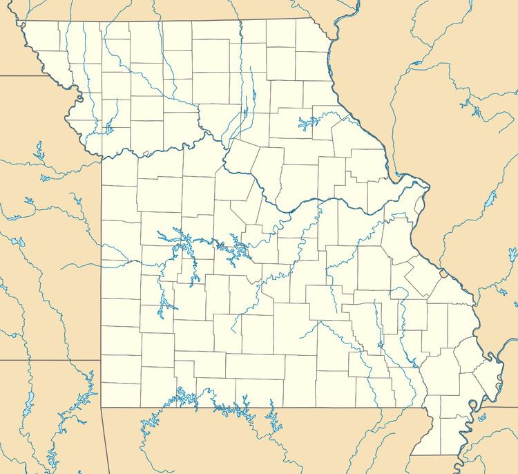
Located approximately seven miles east of Branson on Route 76 at the intersection of Route 76 and State route J. The farming and residential community is part of the Branson Micropolitan Statistical Area. Kirbyville's has the ZIP code 65679.
Education
Accessible educational options include Kirbyville Elementary (pre-school to 3rd grade) and Kirbyville Middle School (4th to 8th grade), Branson High School, Hollister High School, Forsyth High School, College of the Ozarks and Trinity Christian Academy.
References
Kirbyville, Missouri Wikipedia(Text) CC BY-SA