
Country United States County Bighorn ZIP code 59042 Elevation 1,183 m | State Montana Time zone Mountain (MST) (UTC-7) Area code(s) 406 Local time Tuesday 10:30 AM | |
 | ||
Weather 8°C, Wind W at 14 km/h, 66% Humidity | ||
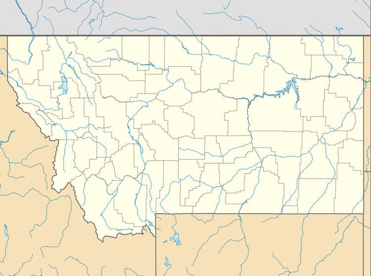
Kirby, Montana is a unincorporated community located in Big Horn County at latitude 45.332 and longitude -106.982.
Contents
Map of Kirby, MT 59016, USA
The elevation is 3,878 feet.
History
The town site of Kirby was located on Montana Highway 314, and Cache Creek Road. It was situated directly east of the Crow Indian Reservation and south of the Northern Cheyenne Indian Reservation in the Rosebud Creek valley. A post office was operational 1895 until 1970 with the zip code of 59042.
Today, Kirby is a ghost town with no more than a couple remaining buildings, including the former post office.
References
Kirby, Montana Wikipedia(Text) CC BY-SA