
County Saline Zip code 67401 Area code 785 | State Kansas Elevation 368 m Local time Tuesday 10:47 AM | |
 | ||
Time zone Central Standard Time (UTC-6) Weather -2°C, Wind E at 13 km/h, 63% Humidity | ||
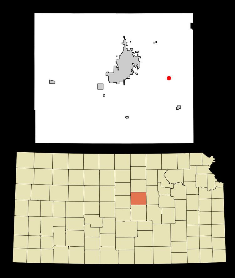
Kipp is an unincorporated community and census-designated place on the border between Eureka and Solomon townships in Saline County, Kansas, United States. It lies along Schilling Road southeast of the city of Salina, the county seat of Saline County. The West Branch of Gypsum Creek flows through the community. Its elevation is 1207 feet (368 m), and it is located at 38°47′2″N 97°27′16″W (38.7838911, -97.4544748). As a part of Saline County, Kipp is a part of the Salina micropolitan area.
Contents
Map of Kipp, KS 67401, USA
History
A post office was opened in Kipp in 1890, and remained in operation until it was discontinued in 1957.
Education
Kipp is part of USD 306. The district high school, Southeast of Saline, is located in Gypsum.
Kipp schools were closed through school unification. The Kipp High School mascot was Kipp Orioles. The Kipp Orioles won the Kansas State High School class B baseball championship in 1949.