
Country India District Kiphire Time zone IST (UTC+5:30) | State Nagaland Elevation 896 m (2,940 ft) Vehicle registration NL | |
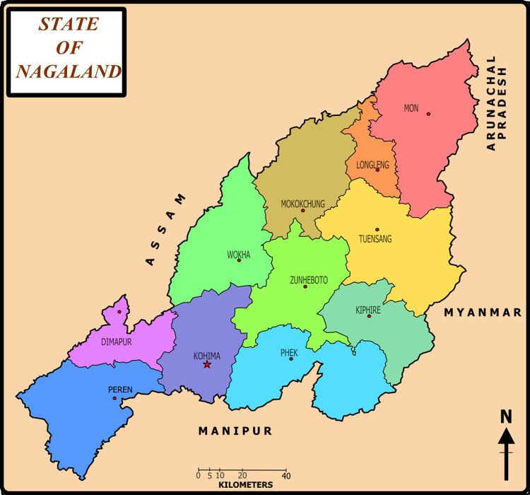 | ||
Kiphire (Pron:/ˈkɪfɑɪə/) is a small town, situated at an elevation of 896 m (2,940 ft) above sea level and is the headquarters of the newly formed Kiphire district, carved out of Tuensang district, in Nagaland, India. Kiphire is about 254 km from Kohima, the capital of Nagaland. It is the place where the Naga tribes of Sangtam (Eastern), Yimchunger and Sema tribes meet. The town is the nearest district headquarters to Mt. Saramati (3841 m or 12,602 ft), Nagaland's highest peak.
Map of Kiphire,-India
References
Kiphire, India Wikipedia(Text) CC BY-SA