Topo map USGS Kintla Peak, MT Elevation 3,079 m | Age of rock Kintla Formation Prominence 1,341 m | |
 | ||
Easiest route Scramble (Class 3/4), often some snow Similar Kinnerly Peak, Mount Cleveland, Mount Stimson, Mount Logan, Blackfoot Mountain | ||
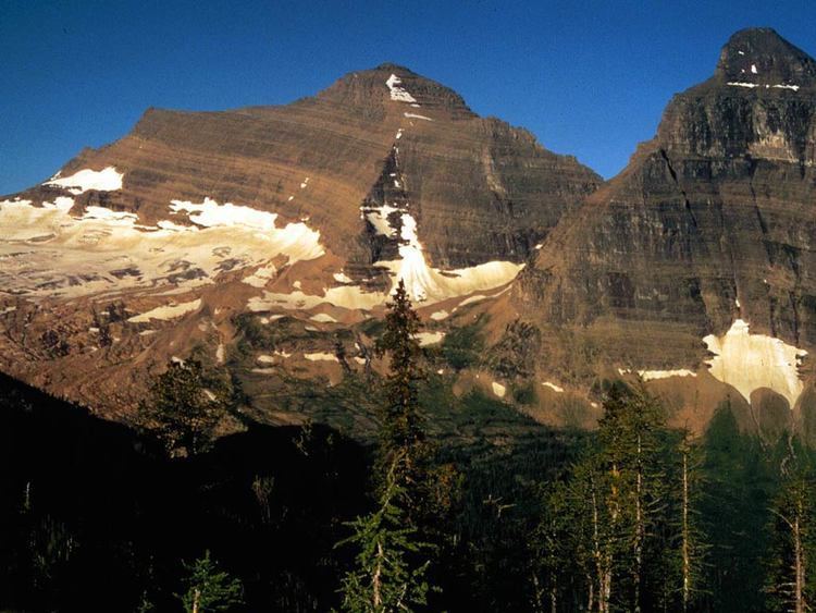
Kintla Peak (10,106 ft (3,080 m)) is located in the Livingston Range, Glacier National Park in the U.S. state of Montana. Kintla Peak is the tallest mountain in the Livingston Range and the third tallest in Glacier National Park. The mountain is in the remote northwest corner of the park and requires a hike of almost 15 miles (24 km) from the nearest road just to reach the base of the mountain. The Agassiz Glacier lies below the mountain to the southeast.
Map of Kintla Peak, Montana 59936, USA
Kintla Peak is named after the Kintla Lakes where Kintla originates from the Kootenai word for "sack". Kootenai legend states that a man had apparently drowned in one of the lakes which likened the lake to a sack where "once you got in, you couldn't get out".
Kintla Peak is notable for its large rise above local terrain; nearby Upper Kintla Lake is only 4,370 feet (1,330 m) in elevation. (Kintla Peak's northern neighbor Kinnerly Peak has an even more dramatic drop to Upper Kintla Lake.) This helps make Kintla "the most arduous climb in the northwest section of the park". The standard route is the Southeast Ridge Route, from the Agassiz Glacier basin. This route has a long approach and a large total vertical gain, and involves rock scrambling up to Class 4, in addition to some climbing on snow, depending on the season. Other routes include the East Ridge, West Face, and Upper North Face routes.
