
Country United States Time zone Pacific (PST) (UTC-8) GNIS feature ID 0862179 Area 10.5 km² Population 113 (2010) Area code 775 | FIPS code 32-38100 Elevation 1,872 m Zip code 89310 Local time Tuesday 5:48 AM | |
 | ||
Weather 3°C, Wind SW at 11 km/h, 37% Humidity | ||
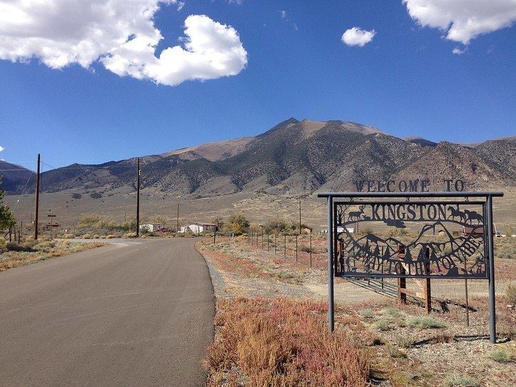
Kingston is an unincorporated community and census-designated place in Lander County, Nevada, United States. The population was 113 at the 2010 census.
Contents
Map of Kingston, Nevada 89310, USA
Geography
Kingston is located in southern Lander County at the eastern foot of the Toiyabe Range. Bunker Hill, the highest peak in Lander County, is located just a few miles to the northwest. Nevada State Route 376 runs past the community, leading north towards Austin, 20 miles (32 km) away, and south 90 miles (140 km) to Tonopah.
According to the U.S. Census Bureau, the Kingston CDP has an area of 4.1 square miles (10.5 km2), all land.
References
Kingston, Nevada Wikipedia(Text) CC BY-SA