
Quadrant SW Established 1957 Area 140 ha | Ward 11 Annexed 1956 | |
 | ||
Weather -1°C, Wind W at 2 km/h, 69% Humidity Restaurants Atlantic Trap & Gill Pub, Big Catch Sushi, Vin Gogh Paint & Sip, Leo Fu's Sezchew Restaurant, Atikus Bar & Grill | ||
Kingsland is a residential neighbourhood in the south-west quadrant of Calgary, Alberta. It is bounded to the north by Glenmore Trail, to the east by Macleod Trail, to the south by Heritage Drive and to the west by Elbow Drive.
Contents
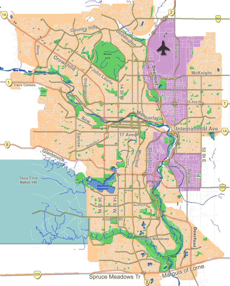
Map of Kingsland, Calgary, AB, Canada
The area was annexed to the City of Calgary in 1956 and Kingsland was established in 1957. It is represented in the Calgary City Council by the Ward 11 councillor.
Demographics
In the City of Calgary's 2012 municipal census, Kingsland had a population of 7003451300000000000♠4,513 living in 7003238300000000000♠2,383 dwellings, a 2.2% increase from its 2011 population of 7003441800000000000♠4,418. With a land area of 1.3 km2 (0.50 sq mi), it had a population density of 3,470/km2 (9,000/sq mi) in 2012.
Residents in this community had a median household income of $43,647 in 2000, and there were 20.1% low income residents living in the neighbourhood. As of 2000, 16.1% of the residents were immigrants. A proportion of 54.1% of the buildings were condominiums or apartments, and 63.4% of the housing was used for renting.
Education
The community is served by St. Augustine Elementary & Junior High (catholic).