
Area code(s) Area code 215 | City Philadelphia | |
 | ||
Restaurants Little Delicious, Fusion Spice Restaurant, Noahs Pizza, Chester Family Pizza, Kings and Queens African C | ||
Kingsessing is a neighborhood in the Southwest section of Philadelphia, Pennsylvania, United States, located next to the neighborhoods of Cedar Park, Southwest Schuylkill, and Mount Moriah, as well as the borough of Yeadon in Delaware County. It is roughly bounded by Cobbs Creek and 60th Street to the southwest, Woodland Avenue to the southeast, 53rd Street to the northeast, and Baltimore Avenue to the northwest.
Contents
- Map of Kingsessing Philadelphia PA 19143 USA
- History
- Infrastructure and government
- Public libraries
- References
Map of Kingsessing, Philadelphia, PA 19143, USA
History
The name Kingsessing or Chinsessing comes from the Delaware Indian word for "a place where there is a meadow". The origins of Kingsessing are found in the village of the same name that roughly occupied the same site as the current neighborhood. Kingsessing became the name of the township in which the original Indian and Swedish village stood.
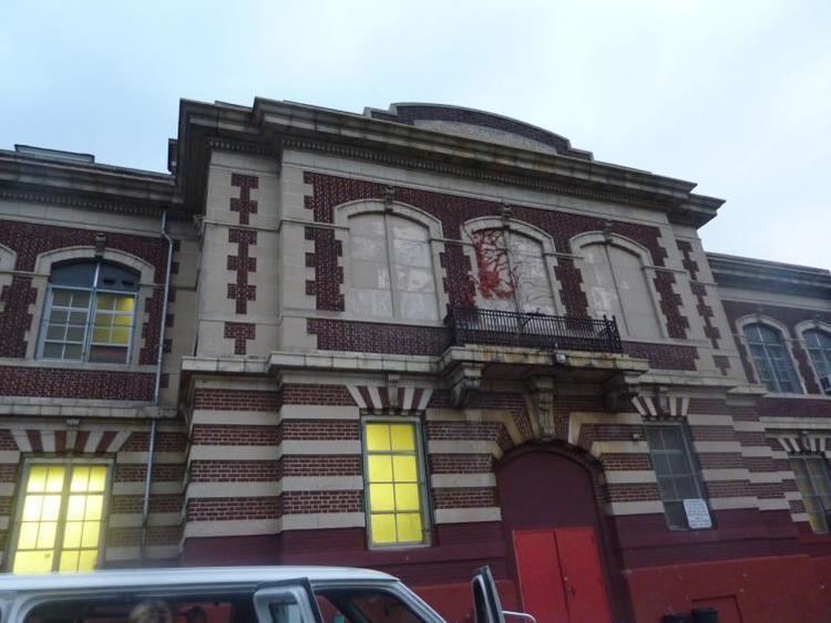
The S. Weir Mitchell School was added to the National Register of Historic Places in 1986.
Infrastructure and government
Public libraries
Free Library of Philadelphia operates the Kingsessing Branch at 1201 South 51st Street, below Chester Avenue.