Country United States County Pine Time zone Central (CST) (UTC-6) Elevation 354 m | State Minnesota ZIP code 55072 Local time Tuesday 6:28 AM | |
 | ||
Weather -20°C, Wind S at 0 km/h, 87% Humidity | ||
Kingsdale is an unincorporated community in New Dosey Township, Pine County, Minnesota, United States.
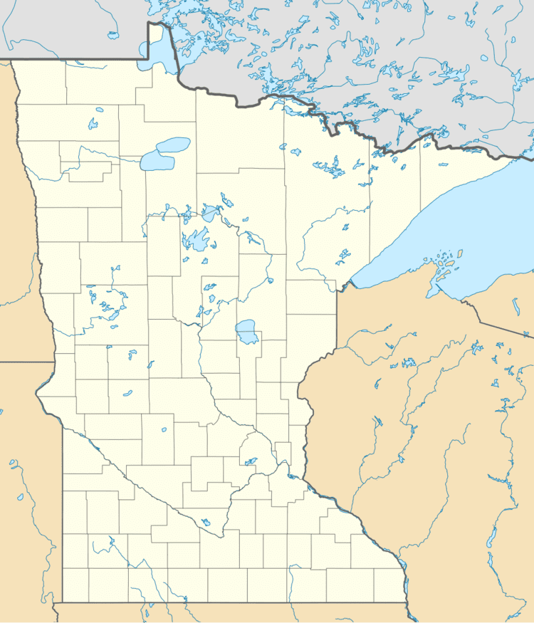
Map of Kingsdale, MN 55072, USA
The community is located east of Askov; at the junction of Pine County Road 31, Kingsdale Road, and Belden Road.
Rutabaga Road (Pine County 32) is also nearby. Hay Creek flows through the community. The Nemadji State Forest is nearby. The Gandy Dancer Trail passes through Kingsdale.
Kingsdale is located near the Minnesota–Wisconsin state line. Nearby places in Minnesota include Cloverton, Markville, and Duxbury. Nearby places in Wisconsin include Dairyland, Moose Junction, and Cozy Corner.
Kingsdale is located 28 miles east of Askov; and 34 miles east–northeast of Sandstone. Kingsdale is 5 miles north of Cloverton; and 9 miles west of Dairyland, WI.
A post office called Kingsdale was established in 1913, and remained in operation until 1961. Kingsdale had a depot on the Soo Railroad.
