
Established 1786 Local time Tuesday 8:24 AM | Time zone AST (UTC-4) Population 7,391 (2011) | |
 | ||
Weather -14°C, Wind NW at 5 km/h, 94% Humidity | ||
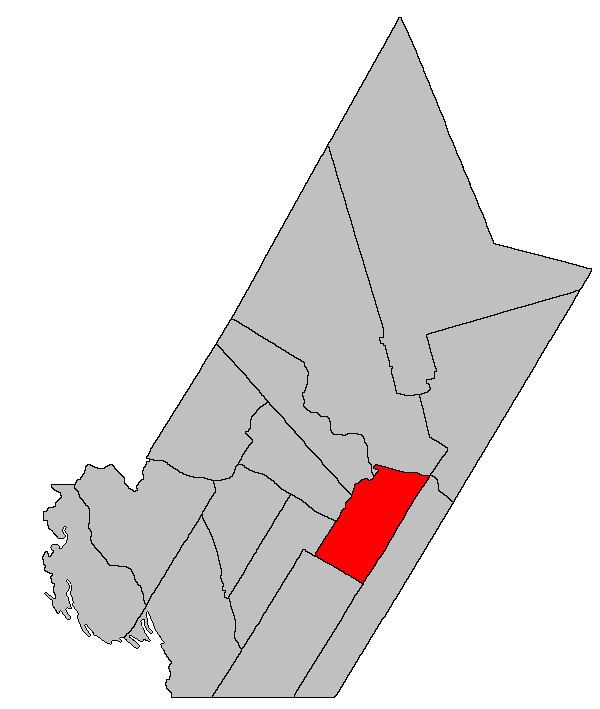
Kingsclear is a Canadian parish in York County, New Brunswick.
Contents
Map of Kingsclear, NB, Canada
Its population in the 2011 Census was 7,391.
Delineation
is defined in the Territorial Division Act as being bounded:
North by the Saint John River; southeast by the City of Fredericton and New Maryland Parish; southwest by Manners Sutton Parish, and northwest by the lower line of lot numbered one, granted to Francis Horsman, and its southwesterly prolongation, including all the islands in front, with the exception of Upper Shores, Lower Shores, Mitchells, Merrithews and Keswick Islands, and the north range of lots, comprising lots number one to number nine inclusive, and lots number thirty-seven to number seventy-one inclusive, on Sugar Island, which form part of the Parish of Douglas.Communities
Parish population total does not include incorporated municipalities (in bold):
References
Kingsclear Parish, New Brunswick Wikipedia(Text) CC BY-SA