
Elevation 533 m Local time Tuesday 5:15 AM | GNIS feature ID 0470397 Area 9.03 km² Population 3,387 (2000) | |
 | ||
Weather -3°C, Wind E at 5 km/h, 64% Humidity | ||
Kingman Township is a township in Kingman County, Kansas, USA. As of the United States census in 2011, its population was 7,853.
Contents
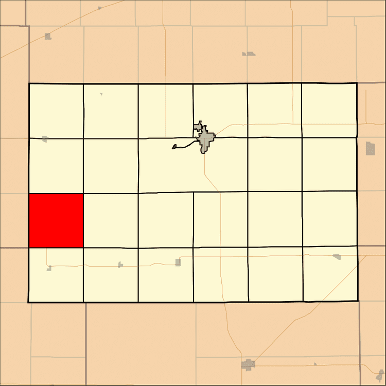
- Map of Kingman KS USA
- Geography
- Cities and towns
- Unincorporated towns
- Adjacent townships
- Cemeteries
- Major highways
- Airports and landing strips
- References
Map of Kingman, KS, USA
Geography
Kingman Township covers an area of 3.49 square miles (9.03 square kilometers); of this, 0.01 square miles (0.04 square kilometers) or 0.44 percent is water. The stream of North Fork Chikaskia River runs through this township. Kingman country is primarily grassland covering red sand.
Cities and towns
Unincorporated towns
(This list is based on USGS data and may include former settlements.)
Adjacent townships
Cemeteries
The township contains three cemeteries: Bross, Walnut Hill and West Point.
Major highways
Airports and landing strips
References
Kingman Township, Kingman County, Kansas Wikipedia(Text) CC BY-SA