
Time zone CST (UTC-6) Elevation 193 m Local time Tuesday 1:20 AM | Established November 7, 1865 ZIP codes 62538, 62546, 62558 Area 94.95 km² Population 244 (2010) | |
 | ||
Weather -2°C, Wind N at 19 km/h, 83% Humidity | ||
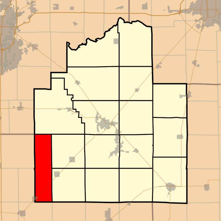
King Township is one of seventeen townships in Christian County, Illinois, USA. As of the 2010 census, its population was 244 and it contained 104 housing units.
Contents
- Map of King Township IL USA
- Geography
- Cities towns villages
- Cemeteries
- Major highways
- Airports and landing strips
- School districts
- Political districts
- References
Map of King Township, IL, USA
Geography
According to the 2010 census, the township has a total area of 36.66 square miles (94.9 km2), all land.
Cities, towns, villages
Cemeteries
The township contains these two cemeteries: Harvel and Morrisonville.
Major highways
Airports and landing strips
School districts
Political districts
References
King Township, Christian County, Illinois Wikipedia(Text) CC BY-SA