
OS grid reference NH50504150 Sovereign state United Kingdom Postcode district IV4 7 Local time Monday 10:29 PM | ||
 | ||
Weather 12°C, Wind SW at 40 km/h, 75% Humidity | ||
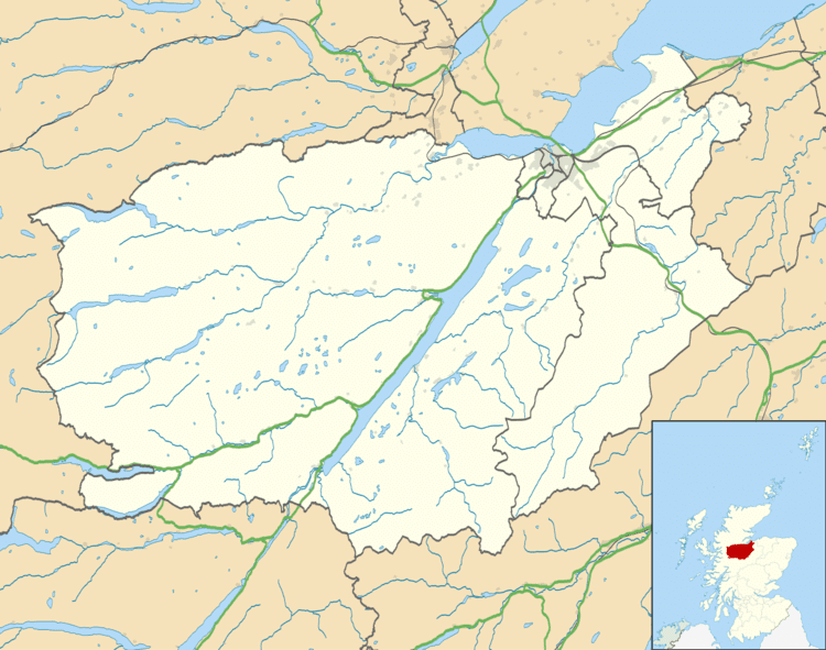
Kiltarlity (Scottish Gaelic: Cill Targhlain) is a small village in the Highland council area of Scotland. It is 12 miles (19 km) west of Inverness, and 2.5 miles (4.0 km) south of Beauly, on the Bruiach Burn. It has a population of under 1000 people, and a primary school, Tomnacross Primary. Lovat Shinty Club play at Kiltarlity, on a pitch on the main street, Balgate Drive.
Map of Kiltarlity, Beauly, UK
The name Kiltarlity comes from the Gaelic Cill Targhlain, which means 'church of Talorcan/Talorgan', the name of a number of Pictish kings.
The name 'Kiltarlity' historically refers to the entire parish, known in Scottish Gaelic as Bràigh na h-Àirde, which includes a number of surrounding hamlets. The main settlement was known as Aultfearna (Gaelic) or Allarburn (Scots), which refer to the alder trees which grow beside the burn. This settlement is now usually known and signposted as Kiltarlity or Kiltarlity Village.
Nearby hamlets considered to be part of Kiltarlity include Camault Muir, Tomnacross, Ardendrain, and Culburnie.