
OS grid reference TA409159 Sovereign state United Kingdom Postcode district HU12 Dialling code 01964 | Post town HULL Local time Monday 10:03 PM | |
 | ||
Weather 8°C, Wind SW at 13 km/h, 83% Humidity | ||
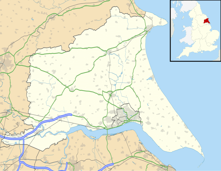
Kilnsea is a hamlet in the East Riding of Yorkshire, England, in an area known as Holderness. It is situated approximately 2 miles (3 kilometres) south of the village of Easington, on the north bank of the Humber Estuary.
Map of Kilnsea, Hull, UK
The hamlet forms part of the civil parish of Easington.
East of Kilnsea is the Grade II listed First World War concrete acoustic mirror used as an early warning device.
Kilnsea has one public house, the Crown and Anchor.
In 1823 Kilnsea was a civil parish in the Wapentake and Liberty of Holderness. The parish church, dedicated to Saint Helen, was close to the cliff and in a "state of dilapidation" and "dangerous condition". Repairs were considered usless with the expectation that the sea, which had already swept away the graveyard, would take the church "in a short time". Population in 1823 was 196.