
Irish grid reference N291595 | ||
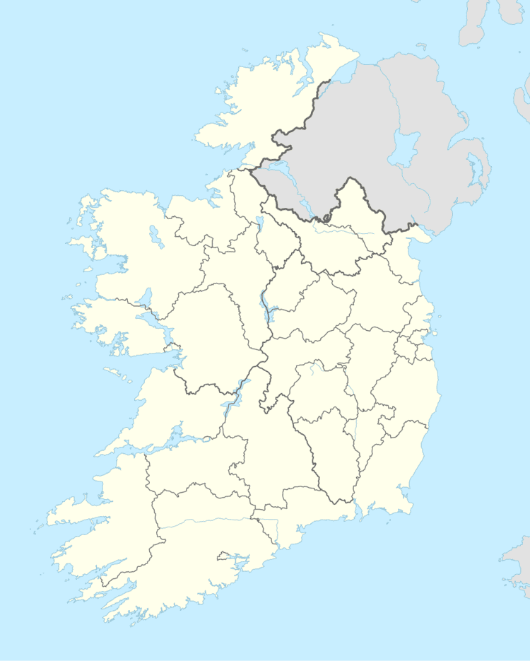 | ||
Kilmacnevan (Irish: Cill Mhic Naomháin) is a civil parish in County Westmeath, Ireland. It is located about 15.81 kilometres (10 mi) west–north–west of Mullingar.
Map of Kilmacnevan, Co. Westmeath, Ireland
Kilmacnevan is one of 6 civil parishes in the barony of Moygoish in the Province of Leinster. The civil parish covers 5,010.3 acres (20.276 km2).
Kilmacnevan civil parish comprises 11 townlands: Ballintue, Ballynacarrow, Calliaghstown, Churchtown, Conlanstown, Deerpark, Emper, Kilmacnevan, Lakingstown, Laragh and Rathmore.
The neighbouring civil parishes are: Rathaspick to the north, Kilbixy to the east, Piercetown (barony of Rathconrath) and Rathconrath (barony of Rathconrath) to the south and Agharra (barony of Shrule, County Longford) and Rathreagh (barony of Ardagh, County Longford) to the west.