
Ward 8 Annexed 1910 | Quadrant SW Established 1906 Elevation 1,120 m (3,670 ft) Local time Monday 2:10 PM | |
 | ||
Weather 4°C, Wind SW at 10 km/h, 49% Humidity Restaurants Chili Club Thai House, Spiros, Oohmami Pares House, Bow Bulgogi House, Little Lebanon Pita Pies | ||
Modern new home in killarney calgary alberta treehouse developments
Killarney, also known as Killarney/Glengarry, is a residential neighbourhood in the city of Calgary, Alberta, Canada. It is bounded by 17th Avenue S.W. on the north, 37th Street S.W. on the west, Richmond Road S.W. on the south, and 25A Street S.W. on the east. It was named after Glengarry County, Ontario by the original settlers who came from there.
Contents
- Modern new home in killarney calgary alberta treehouse developments
- Map of Killarney Calgary AB Canada
- Luxurious infill in killarney calgary alberta treehouse developments
- History
- Demographics
- Schools
- Public transit
- References
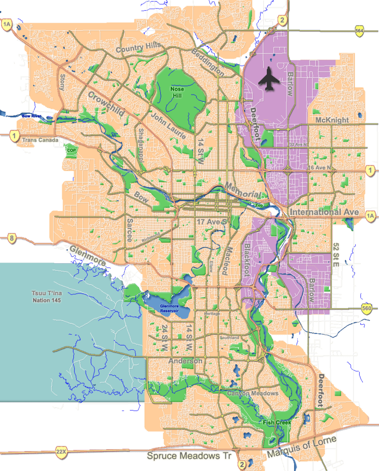
Map of Killarney, Calgary, AB, Canada
Luxurious infill in killarney calgary alberta treehouse developments
History
The first subdivision plan for the community of Killarney was registered with the Alberta Land Titles Office in 1906, and the lands were formally annexed by the City in 1910. Development before the Second World War was slow; most houses built at the time were one-storey clapboard structures. The community was filled out in the post-war era, when developers erected hundreds of small stucco and clapboard bungalows on the 25- and 50-foot (15 m) wide lots. Since approximately 2002, developers have been replacing the older structures with low- and medium-density infill housing on a piecemeal basis.
Westbrook Mall, a small regional shopping centre featuring Wal-Mart and Canada Safeway, is located directly north of the community. There are also numerous shops along 17th Avenue and 37th Street S.W.
The community has an area redevelopment plan in place.
Demographics
In the City of Calgary's 2012 municipal census, Killarney/Glengarry had a population of 7003681600000000000♠6,816 living in 7003367900000000000♠3,679 dwellings, a 4.2% increase from its 2011 population of 7003654300000000000♠6,543. With a land area of 1.8 km2 (0.69 sq mi), it had a population density of 3,790/km2 (9,810/sq mi) in 2012.
Residents in this community had an median household income of $53,799 in 2005, and there were 19.5% low income residents living in the neighbourhood. As of 2006, 19.1% of the residents were immigrants. A proportion of 41.4% of the buildings were condominiums or apartments, and 46.0% of the housing was used for renting.
The Killarney community is a part of the Calgary Centre federal electoral district, the Calgary Currie provincial constituency. It is represented in the Calgary City Council by the Ward 8 councillor.
Schools
Killarney is home to the following schools:
Killarney is also served by the following schools in adjoining neighbourhoods:
Public transit
Killarney is serviced by the following Calgary Transit routes (as of December 10, 2012):
The West LRT C-Train began operation on December 10, 2012 and includes a stop near Westbrook Mall just north of 17th Ave SW.