
Population 1,415 (2001 Census) Country Northern Ireland Post town NEWRY Province Ulster Dialling code 028 | County County Down Sovereign state United Kingdom Postcode district BT Local time Monday 6:22 PM Ni assembly South Down | |
 | ||
Weather 13°C, Wind SW at 18 km/h, 67% Humidity District Newry, Mourne and Down District Council | ||
Kilcoo (from Irish: Cill Chua, meaning "church of mourning" – from the legend that Saint Patrick's body stayed there while on its way to Downpatrick to be buried) is a small village and civil parish in County Down, Northern Ireland. It lies between Rathfriland and Castlewellan and is within the Newry, Mourne and Down District Council area. Kilcoo had a population 1415 people in the 2001 Census.
Contents
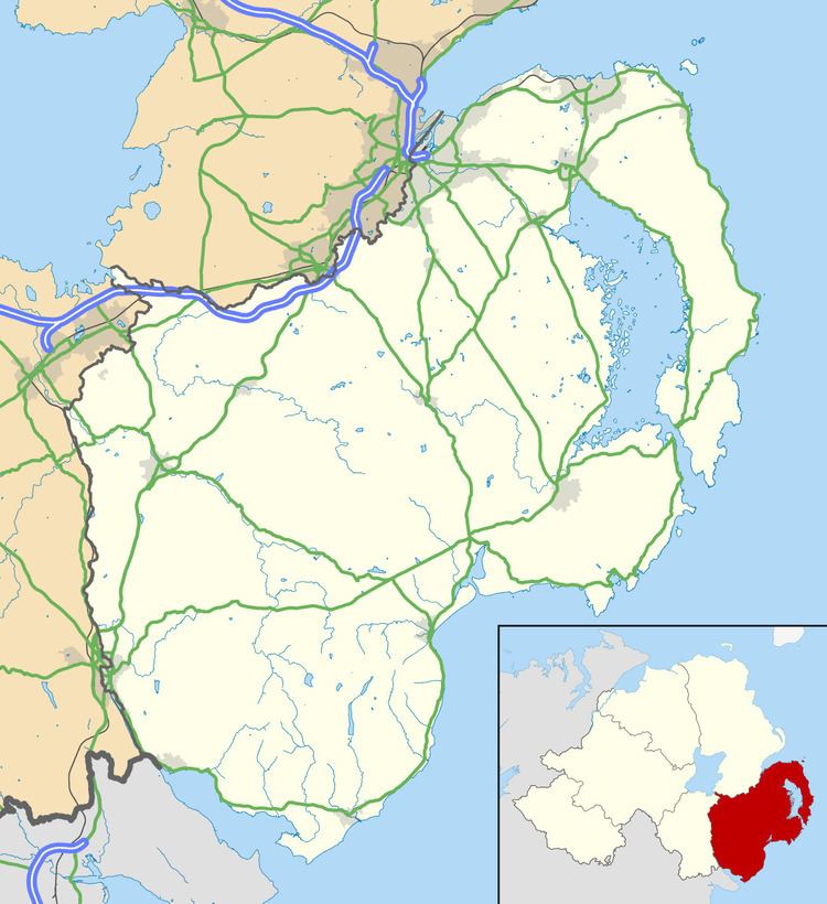
- Map of Kilcoo Newry UK
- Places of interest
- Education
- Sport
- 2001 Census
- Civil parish of Kilcoo
- Townlands
- References
Map of Kilcoo, Newry, UK
Places of interest
Near Kilcoo is Lough Island Reavy, a small man-made lough. East of the lough is Drumena Cashel, a stone ringfort that was used in the Early Christian period (500–1200 AD).
Education
Saint Malachy's Primary School is a mixed gender school for students between the age of 4 and 11. It was opened in September 1970.
Sport
The village has one sporting club, Kilcoo GAC. This a Gaelic Athletic Association club with teams in Gaelic football and Camogie.
2001 Census
Kilcoo is classified as a rural settlement by the NI Statistics and Research Agency (NISRA) . Kilcoo is named as Tollymore Ward SOA 1 (Super Output Area) as the data contains the village itself and surrounding townlands of the village. On Census day (29 April 2001) there were 1415 people living in the Kilcoo area. Of these:
Civil parish of Kilcoo
The civil parish is mainly in the historic barony) of Iveagh Upper, Lower Half with one townland in Iveagh Upper, Upper Half.
Townlands
The civil parish contains the following townlands: