
Country United States County Kauai FIPS code 15-36650 Area 3.9 km² Area code Area code 808 | State Hawaii ZIP codes 96722, 96754 Elevation 89 m Population 2,803 (2010) | |
 | ||
Time zone Hawaii-Aleutian (UTC-10) | ||
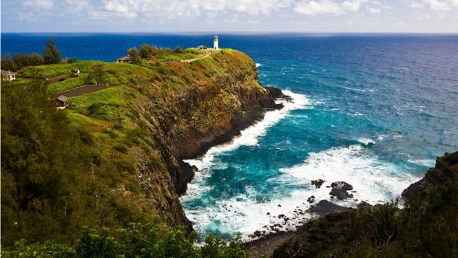
Kilauea is a small town on the northeastern shore of Kauai, one of the eight islands that make up the state of Hawaii. According to the Hawaii State Info website, 2,248 people reside in Kilauea, which is 1.5 square miles. The town is a census-designated place (CDP) in Kauaʻi County, Hawaiʻi, United States.
Map of Kilauea, HI 96754, USA
Kīlauea shares the name of the active volcano, Mt. Kilauea. The name literally translates to "spewing" or '"much spreading" in Hawaiian.
Kilauea was once nicknamed the “Guava Capital of the World” because it was home to the Guava Kai Plantation, the largest guava plantation in the world. The Guava Kai Plantation closed in late 2006/early 2007.
The town of Kilauea is located west of the Moloaa area which includes Moloaa Forest Reserve and 6.5 miles from Moloaa Bay.