
Time zone PST (UTC−8) Area code(s) 360 Local time Monday 6:45 AM | ZIP code 98649 Elevation 239 m | |
 | ||
Weather 11°C, Wind SE at 19 km/h, 83% Humidity | ||
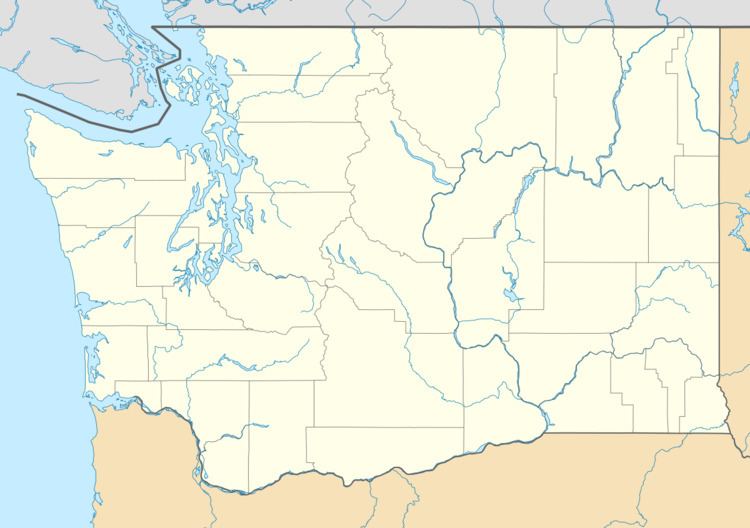
Kid Valley is an unincorporated community in Cowlitz County, Washington. Kid Valley is located east of the city of Castle Rock and along the North Fork Toutle River. Kid Valley is reached by traveling 17.8 miles (28.6 km) east of Castle Rock along Washington State Route 504, which is also known as the Spirit Lake Memorial Highway. The Kid Valley community is part of the Toutle Lake School District, a K-12 school district of about 600 students.
Contents
Map of Kid Valley, WA 98649, USA
Kid Valley is located 23.86 miles (38.40 km) northwest of Mount St. Helens. The eruption of Mount St. Helens on May 18, 1980, was the deadliest and most economically destructive volcanic event in the history of the United States.
Geography
Kid Valley is located at 46°22′22″N 122°37′09″W (46.3728869, -122.6192771).