
Country Philippines Time zone PST (UTC+8) Area 254.9 km² Local time Monday 8:35 PM | Barangays ZIP code 2611 Province Benguet | |
 | ||
Region Cordillera Administrative Region (CAR) District Lone district of Benguet Weather 21°C, Wind S at 2 km/h, 96% Humidity | ||
Kibungan, officially the Municipality of Kibungan (Ilocano: Ili ti Kibungan; Filipino: Bayan ng Kibungan), is a municipality in the province of Benguet in the Cordillera Administrative Region (CAR) of the Philippines. The population was 17,292 at the 2015 census. In the 2016 electoral roll, it had 8,679 registered voters.
Contents
Map of Kibungan, Benguet, Philippines
Geography
Kibungan is located at 16°57′16″N 120°39′56″E, at the northwestern section of Benguet. It is bounded by Bakun on the north, Buguias on the mid-east, Kabayan on the southeast, Atok and Kapangan on the south, and Sugpon on the mid-west.
According to the Philippine Statistics Authority, the municipality has a land area of 254.86 square kilometres (98.40 sq mi) constituting 7000920000000099999♠9.20% of the 2,769.08-square-kilometre- (1,069.15 sq mi) total area of Benguet.
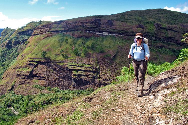
Kibungan is known in the province of Benguet as the town with unique mountains often mistaken to resemble those of Switzerland. Deep ravines and cliffs separate and isolate many sitios and some barangays. Although some plateaus, hills and small valleys can be seen in the locality, Kibungan is dominantly mountainous.
The municipality is within a cool highland mountainous zone with elevations at more than 2,500 metres (8,200 ft) above sea level. During its coolest months of December to January, Barangay Madaymen experiences chilling temperature of 0 °C (32 °F), causing the famous Frost of Madaymen.
The municipality is located 62 kilometres (39 mi) north of Baguio.
Barangays
Kibungan is politically subdivided into 7 barangays.
Demographics
In the 2015 census, Kibungan had a population of 17,292. The population density was 68 inhabitants per square kilometre (180/sq mi).
In the 2016 electoral roll, it had 8,679 registered voters.
Tourism
In order to promote the uniqueness of the municipality's ecotourism, the people want the tag "Switzerland of Benguet" removed as of 2007. The tag was created in good faith as the municipality is a mountainous region and has a cool climate that is associated with Switzerland. However, this gives the wrong impression that the municipality has snow-covered peaks for skiing.
Public schools
As of 2014, Kibungan has 24 public elementary schools and 3 public secondary schools.