
Coat of arms Flag Rural localities 27 | Administrative center selo of Khvorostyanka Area 1,845 km² | |
 | ||
Municipally incorporated as | ||
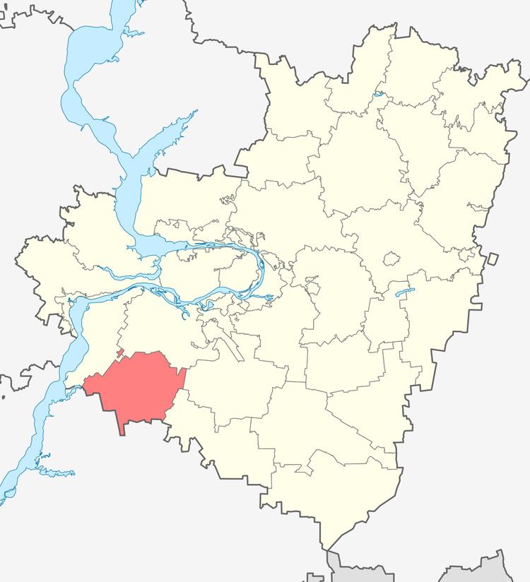
Khvorostyansky District (Russian: Хворостя́нский райо́н) is an administrative and municipal district (raion), one of the twenty-seven in Samara Oblast, Russia. It is located in the west of the oblast. The area of the district is 2,534 square kilometers (978 sq mi). Its administrative center is the rural locality (a selo) of Khvorostyanka. Population: 16,302 (2010 Census); 16,098 (2002 Census); 14,634 (1989 Census). The population of Khvorostyanka accounts for 31.7% of the district's total population.
Map of Khvorostyansky District, Samara Oblast, Russia
References
Khvorostyansky District Wikipedia(Text) CC BY-SA