
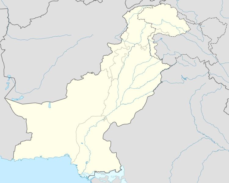
Country Pakistan District Bhakkar District Calling code 0453 Local time Monday 6:14 AM | Province Punjab Time zone PST (UTC+5) Elevation 170 m | |
 | ||
Weather 12°C, Wind SE at 3 km/h, 67% Humidity | ||
Khansar (Urdu: خانسر, Saraiki Khansar : خانسر) Is A Town And Also Union Council Of Bhakkar District. It Contains Many Small Villages About 50 And Its Center Is Located 25 Km West From Bhakkar Main City..Mostly People Are Balouch And All Are Muslims (91% Belongs To Sect Shia).There Are Two High Schools One For Girls (Govt Girls H/S Bakhtawar Wala) And One For Boys (Govt H/S Jaffar Wala) And About 10 Primary Schools.There Are About 10 Hussanias (Imam Bargah,s) In Khansar And Many Mosques And One Govt Hospital. It Is Most Populous Union Council In Bhakkar District.Population Is Estimated 36,000..It Is Located At 31*39'60N 71*19'0E At The Elevation Of 159-170 Meter And Lies On MM Road (Mianwali Muzafargarh Road)..It Is Peaceful Area.This Area Is Not Populated As Compare To Land Area...Most People Belongs To Agriculture.The Area Is Full Of Trees Mainly Grown To Earn.