
PIN 504203 Elevation 2,290 m Population 55,000 (2011) Area code 08730 | Time zone IST (UTC+5:30) Telephone code 08730 Area 3 km² Local time Monday 5:44 AM | |
 | ||
Weather 20°C, Wind S at 2 km/h, 39% Humidity Neighborhoods Vidyanagar, Gandhi Nagar Colony, Gandhinagar, Shantinagar | ||
Khanapur is a Mandal Headquarters in Nirmal district of Telangana, India.
Contents
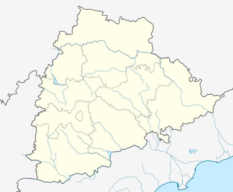
Map of Khanapur, Telangana 504203
Geography
Khanapur is located at 19.0333°N 78.6667°E / 19.0333; 78.6667. It has an average elevation of 229 meters (754 feet). located on the banks of river godavari.
Khanapur has a leisure place called Sadarmat which is small reservoir. This will be a picnic place during summer & winter time. Khanapur can be reached by 34 km west from Nirmal (NH-7).
Demographics
According to Indian census, 2001, the demographic details of Khanapur mandal is as follows:
References
Khanapur, Adilabad Wikipedia(Text) CC BY-SA