
- elevation 1,443 m (4,734 ft) - average 25 m/s (883 cu ft/s) Discharge 25 m³/s Mouth Buir Lake | - elevation 583.1 m (1,913 ft) Length 233 km Basin area 17,000 km² Country Mongolia | |
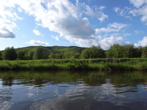 | ||
The Khalkh River (also spelled as Khalkha River; Mongolian: Халх гол; Chinese: 哈拉哈河; pinyin: Hālāhā Hé) is a river in eastern Mongolia and northern China's Inner Mongolia region. The river is also referred to with the genitive suffix -iin as the Khalkhyn Gol or River of Khalkh
Map of Khalkh River, Mongolia
The river's source is in the Greater Khingan mountains of Inner Mongolia. In its lower course, around 48.033179°N 118.134290°E / 48.033179; 118.134290, the river splits into two distributaries. The left branch (the Halh River proper) flows into the Buir Lake at 47.895556°N 117.835556°E / 47.895556; 117.835556; it then flows from that lake at 47.950011°N 117.814270°E / 47.950011; 117.814270) as the Orchun Gol (Chinese: 乌尔逊河; pinyin: Wūěrxùn Hé). The right branch, known as the Shariljiin Gol (Mongolian: Шарилжийн гол) flows directly into the Orchun Gol at 48.069891°N 117.755433°E / 48.069891; 117.755433.
From May–September 1939, the river was the site of the Battles of Khalkhin Gol, the decisive engagement of the Soviet-Japanese border conflicts. Soviet and Mongolian forces defeated the Japanese Kwantung Army.