
Country Nepal District Darchula District Area code(s) +977-93 | Zone Mahakali Zone Time zone Nepal Time (UTC+5:45) Population 133,464 (2011) | |
 | ||
Weather -2°C, Wind NE at 3 km/h, 34% Humidity | ||
Khalanga (Darchula) is a town in Api Municipality in Darchula District in the Mahakali Zone of western Nepal. It is the district headquarters. The town is located near the Mahakali River which is the border with Uttarakhand state, India. Indian and Nepalese nationals cross unrestricted, however there is a customs checkpoint for goods. Here mostly people are western culture. The main caste of this place is Dhami, including Bhatt, Kshetri, and Bhotes. In the northern part it connects to Tibet.
Contents
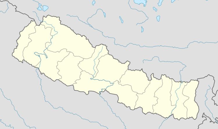
Map of Khalanga, Nepal
Demographics
At the time of the 2011 Nepal census it had a population of 133,464 people living in 25,802 individual households.
References
Khalanga, Mahakali Wikipedia(Text) CC BY-SA