
Local time Sunday 10:49 PM | ||
 | ||
Weather 13°C, Wind SE at 16 km/h, 64% Humidity | ||
Kfar Beit (also known as كفر بيت, Kfar Beït, Kafr Bayt or Kfarbeet) is a Lebanese village in the south of Lebanon. It is close to the city of Saida. Kfar Beit has an average elevation of 374 meters or 1,227 feet.
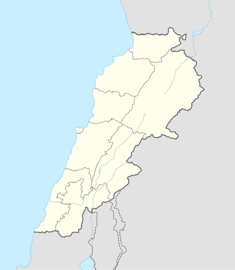
Map of Kfar beit, Lebanon
The closest airport is the Rafic Hariri International Airport
References
Kfar Beit Wikipedia(Text) CC BY-SA