Managing agency NY/NJ Baykeeper Max depth 2.44 m | Basin countries United States Surface elevation 0 feet (0 m) Ocean/sea source Atlantic Ocean | |
 | ||
Similar Lower New York Bay, Arthur Kill, Cheesequake State Park, Saddle River County P, Headless Horseman Hayrides | ||
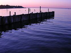
Keyport Harbor is an arm of Raritan Bay, located on the south side of the bay. Streams flowing into Keyport Harbor include Matawan Creek, Luppatatong Creek and Chingarora Creek.
Map of Keyport Harbor, New Jersey, USA
An earlier name for Keyport Harbor is Brown's Point Cove.
References
Keyport Harbor Wikipedia(Text) CC BY-SA
