
- location Liddel Water | Country United Kingdom | |
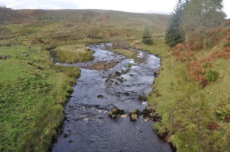 | ||
Kershope Burn is a burn running in its entirety along the border between England and Scotland.
Map of Kershope Burn, United Kingdom
The river rises, as Clark's Sike, in a marshy area in Kielder Forest Northumberland known as Hobb's Flow, before becoming Kershope Burn after running by Kershopehead, a farmstead in Cumbria.
The river runs into Liddel Water at Kershopefoot, after which Liddel Water marks the boundary between England and Scotland. The final few meters of the river flow past the hamlet at Kershopefoot and underneath the railway bridge of the former Waverley Line. Between 1862 and 1969 a passenger station variously known as Kershope or Kershope Foot was located here.
References
Kershope Burn Wikipedia(Text) CC BY-SA