
Population 2,058 (2011) Local time Sunday 2:24 PM | OS grid reference SO146899 Country Wales Postcode district SY16 Dialling code 01686 | |
 | ||
Weather 11°C, Wind W at 16 km/h, 79% Humidity | ||
Kerry (Welsh: Ceri) is a village and geographically large community in Powys, Wales.
Contents
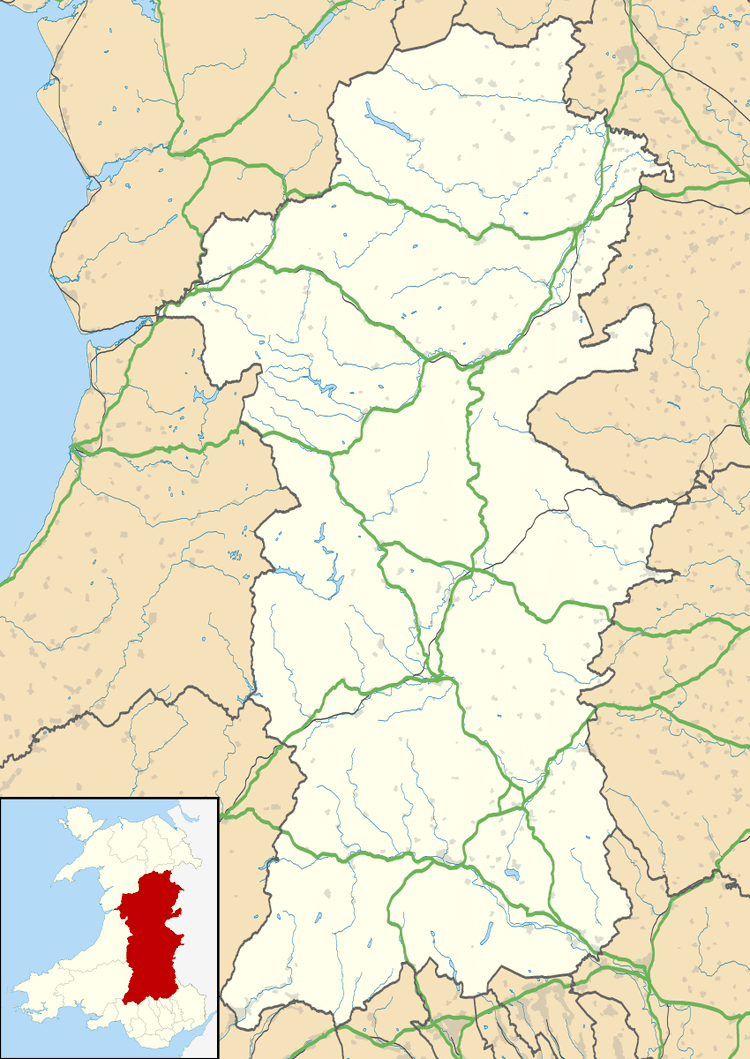
Map of Kerry, UK
The village lies on the A489 road 2.8 miles (4.5 km) southeast of Newtown and possesses two pubs — the Herbert Arms and the Kerry Lamb — a village hall, a bowling green, a post office, a primary school and a hairdresser (formerly the Kerry Vale Butcher's shop).
Kerry also has a parish church of Norman origins dedicated to St. Michael and All Angels, as well as a baptist church.
The village has a population of about 800. It is the home of Phil Mills, WRC rally driver and co-driver.
It gives its name to the Kerry Hill breed of sheep.
Governance
The large, rural Kerry community contains the villages of Kerry, Glanmule, Dolfor and Sarn. It is divided into three wards (Kerry, Dolfor and Sarn) and for Powys County Council the community is an electoral division/ward (called Kerry). It falls in the historic county of Montgomeryshire.
History
The Battle of Kerry was fought nearby in 1228 between Llywelyn Fawr and Hubert de Burgh.
The area around the village was the Welsh commote and Lordship of Ceri, part of the region of Rhwng Gwy a Hafren, and it was originally ruled by the Princes of Maelienydd and their descendants.
Kerry was the terminus of the Kerry Railway, later a branch of the Cambrian Railways, connecting it to Abermule that ceased operating in 1956. The narrow gauge Kerry Tramway brought timber from the forests to the main line station.
St. Michael's Church
St. Michael's Church of Kerry is located within the diocese of St. Asaph and was built in 1176. The parish is very large in comparison to others, stretching as far as Mochdre, Dolfor and Beguildy. It boasts one of only three chained Bibles in Wales, possibly even in the United Kingdom, and is printed according to William Morgan's Welsh translation.