
Population 188 (2006 census) Postal code 3691 | Postcode(s) 3691 | |
 | ||
Location 353 km (219 mi) NE of Melbourne30 km (19 mi) SE of Wodonga28 km (17 mi) SW of Tallangatta | ||
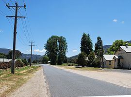
Kergunyah is a locality in north eastern Victoria. The locality is on the Kiewa Valley Highway, 353 kilometres (219 mi) north east of the state capital, Melbourne. At the 2006 census, Kergunyah had a population of 188.
Map of Kergunyah VIC 3691, Australia
References
Kergunyah Wikipedia(Text) CC BY-SA