
Population 332 (2006 census) Keppel Sands The Keppels Local time Sunday 9:01 PM | Postcode(s) 4702 Postal code 4702 | |
 | ||
Location 676 km (420 mi) NW of Brisbane39 km (24 mi) E of Rockhampton36 km (22 mi) S of Yeppoon30 km (19 mi) S of Emu Park Weather 26°C, Wind NE at 13 km/h, 70% Humidity | ||
Keppel Sands is a town in the Capricornia region of Queensland, Australia. It is within the local government area of Shire of Livingstone, but, between 2008 and 2013, it was within the Rockhampton Region. At the 2011 census, Keppel Sands had a population of 333.
Contents
Map of Keppel Sands QLD 4702, Australia
Geography
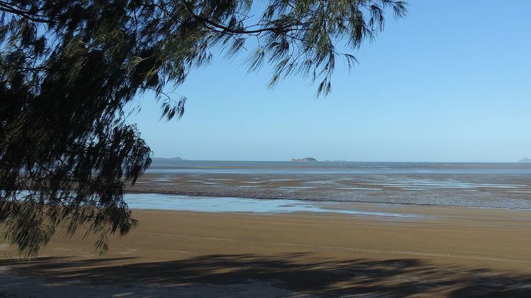
Keppel Sands is the southernmost town on the Capricorn Coast. The town is located in the Livingstone Shire Council local government area, 676 kilometres (420 mi) north west of the state capital, Brisbane.
Separated by Coorooman Creek from the larger towns of Emu Park and Yeppoon to the north, Keppel Sands is a charming village-style township centred on fishing and holiday making. Facilities in Keppel Sands include a hotel, caravan park, motel, Australia Post outlet, local store, and two boat ramps. The Coast Guard are located at Pumpkin Creek at the southern edge of the town.
Keppel Sands is home to many retirees and is a popular location for fishing and crabbing.
History
Originally known as Sandhills, Keppel Sands has long been a popular beach to visit for people from Rockhampton and the surrounding area. Over the years beach huts and weekenders gradually gave way to the more permanent housing of today. Boarding houses were popular until the road improved and daytripping to the beach became possible. The Savoy Theatre was a place for both movies and dances.
Mount Barlow Provisional School opened in 1903 and became Mount Barlow State School on 1 Jan 1909. It was renamed Sandhills State School about 1930 and then renamed Keppel Sands State School about 1938.
Keppel Sands Post Office opened on 1 September 1927.
Near to Keppel Sands is Joskeleigh which was home to a large South Sea Islander community, imported as indentured labourers from various islands in Melanesia and Polynesia in a process known as blackbirding.
Education
Keppel Sands State School is a government co-education primary school (P-6). In 2015, it had an enrolment of 19 students with 2 teachers. It opened in March 1893.