
Existed: c. 1930s – present Counties: Edmonson County Edmonson County, Kentucky | West end: KY 70 / KY 259 Length 2.066 km | |
 | ||
East end: Near Green River Lock & Dam #6 | ||
Kentucky Route 183 (KY 183), known locally as Lock Road, is a rural, secondary east–west state route located entirely in Edmonson County, Kentucky. This route is 1.284 miles (2.066 km) long. Like some four-digit state highways in rural areas of Kentucky, KY 183 only has one lane.
Route description
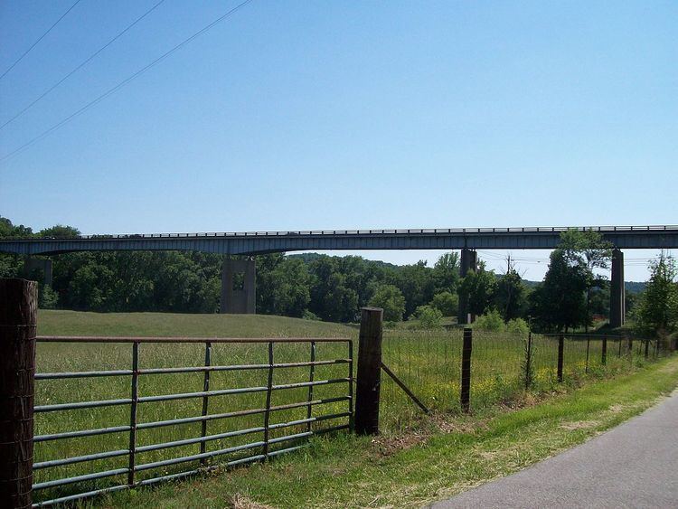
KY 183 begins at an intersection with the concurrent KY 70/KY 259. KY 183 goes under the Green River bridge carrying the other two routes over the river into downtown Brownsville. The end of state maintenance is about a fraction of a mile short of the Green River Lock and Dam Number 6.
KY 183 is designated to be a back road that would link the city of Brownsville to Alexander Cemetery, and the lock and dam, which is operated by the U.S. Army Corps of Engineers. Only a few residences exist in the first half mile of the route. Due to the route being so close to the river, it is often flood prone.