
 | ||
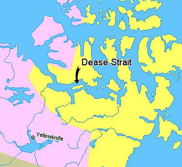
The Kent Peninsula is a large peninsula, almost totally surrounded by water, in Nunavut's northern Canadian Arctic mainland. Were it not for a 5-mile isthmus at the southeast corner it would be a long island parallel to the coast. From the isthmus it extends 105 mi (169 km) westward into the Coronation Gulf. To the south Melville Sound separates it from the mainland. To the north is Dease Strait and then Victoria Island. To the west is Coronation Gulf and to the east, Queen Maud Gulf. Cape Flinders is the western tip, Cape Franklin is at the northwest point and Cape Alexander the northeast point.
Map of Kent Peninsula, Kitikmeot, Unorganized, NU, Canada
Historically, the Umingmuktogmiut subgroup of Copper Inuit had a permanent community at Umingmuktog on the peninsula's western coast. A landmark for early explorers was Point Turnagain about 25 miles northeast of Cape Flinders near Cape Franklin at about 68°36′30″N 108°18′30″W. In 1821 John Franklin reached it from the west and turned back. In 1838 Thomas Simpson (explorer) reached nearly the same point, was blocked by ice and walked 100 miles east. In 1839 the coast was clear of ice and Simpson followed the entire coast east.