
Country United States Time zone Pacific (PST) (UTC-8) Local time Saturday 10:19 PM | Elevation 2,713 ft (827 m) ZIP code 97033 | |
 | ||
Weather 7°C, Wind SW at 19 km/h, 70% Humidity | ||
Kent is an unincorporated community in Sherman County, Oregon, United States. Although it is unincorporated, Kent has a post office with a ZIP code of 97033. Kent lies at the intersection of U.S. Route 97 and Dobie Point Road, between Grass Valley to the north and Shaniko to the south.
Contents
Map of Kent, OR, USA
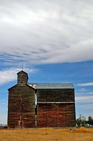
Kent was the site of a railway station, originally called Guthrie, on the Columbia Southern Railway. The name of the community stemmed either from a drawing from a group of names submitted by local residents or was chosen directly by Kent's first postmaster, according to differing accounts of the matter. Milton H. Bennett was that postmaster, who ran the post office beginning in about 1887.
Climate
This region experiences warm (but not hot) and dry summers, with no average monthly temperatures above 68.1 °F (20.1 °C). According to the Köppen Climate Classification system, Kent has a steppe climate, abbreviated "BSk" on climate maps.