
Population 4,273 (2006 census) Location 3 km (2 mi) from Perth Postal code 6151 | Postcode(s) 6151 | |
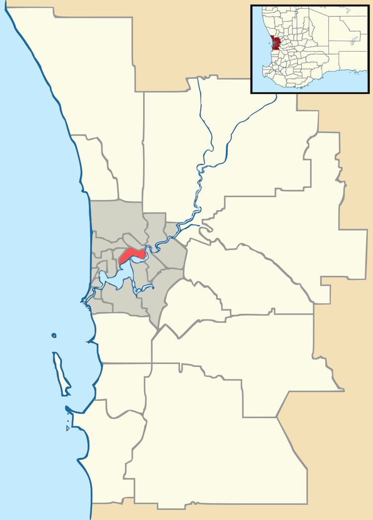 | ||
Kensington is a residential suburb 3 km from Perth's central business district. Kensington is located within the City of South Perth local government area.
Contents
Map of Kensington WA 6151, Australia
Kensington was named after the former Kensington Park Racecourse, which was most likely named after William Samuel Cox's Kensington Park Racecourse, in Melbourne. The suburb is bounded by Canning Highway to the west, Berwick Street to the north, Kent Street to the east, and Hayman Road and South Terrace to the south.
Senior and Tertiary Education
Kensington contains Wesley College's playing fields at Morris Mundy Reserve. It borders Perth's Technology Park and Curtin University, named after former Australian prime minister John Curtin. Kensington also contains Kensington Primary School.
References
Kensington, Western Australia Wikipedia(Text) CC BY-SA