
Population 5,768 (2001) | Time zone IST (UTC+5:30) Lok Sabha constituency Maldaha Uttar Local time Sunday 7:26 AM | |
 | ||
Weather 19°C, Wind SW at 5 km/h, 89% Humidity | ||
Kendua is a census town in Habibpur (Community development blok) in Malda Sadar subdivision of Malda district in the Indian state of West Bengal.
Contents
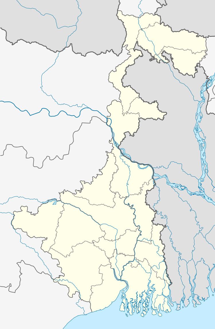
Map of Kendua, West Bengal
Geography
Kendua is located at 24°58′59″N 88°14′51″E.
Demographics
As of 2001 India census, Kendua had a population of 5768. Males constitute 51% of the population and females 49%. Kendua has an average literacy rate of 62%, higher than the national average of 59.5%: male literacy is 71%, and female literacy is 53%. In Kendua, 13% of the population is under 6 years of age.
References
Kendua, West Bengal Wikipedia(Text) CC BY-SA