
Country United States ZIP codes 78027 Elevation 422 m | Time zone Central (CST) (UTC-6) GNIS feature ID 1339027 Local time Saturday 7:23 PM | |
 | ||
Weather 17°C, Wind NE at 10 km/h, 95% Humidity | ||
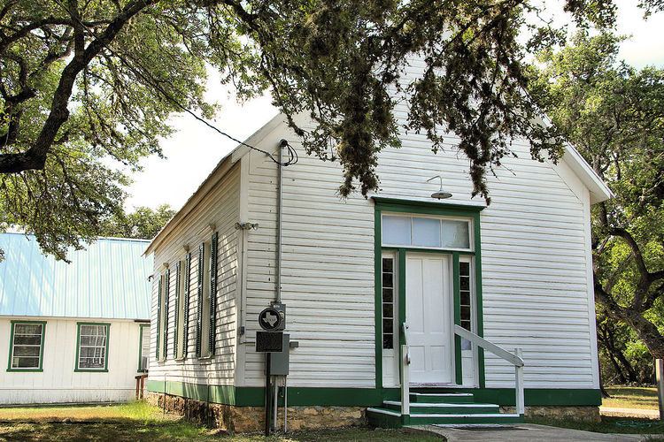
Kendalia is an unincorporated community in northeastern Kendall County, Texas, United States. It lies along RM 473/FM 3351 northeast of the city of Boerne, the county seat of Kendall County. Its elevation is 1,384 feet (422 m). Although Kendalia is unincorporated, it has a post office, with the ZIP code of 78027; the ZCTA for ZIP Code 78027 had a population of 459 at the 2010 census. The community is part of the San Antonio Metropolitan Statistical Area.
Contents
Map of Kendalia, TX 78013, USA
Likely named for early nearby settler George Wilkins Kendall, the community was surveyed in 1883, although a post office was not established until 1895. The local economy has long been dependent primarily on ranching, although many residents today work in cities such as Blanco or San Antonio.