
Country Turkey District Eyüp Postal code 34075 Province Istanbul Province | Region Marmara Time zone EET (UTC+2) Area code 0–212 | |
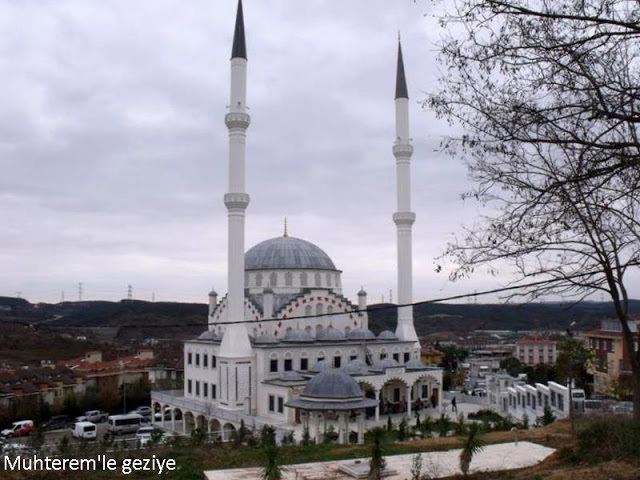 | ||
Kemerburgaz is a village in Eyüp district of Istanbul Province, Turkey.
Contents
- Map of Kemerburgaz MithatpaC59Fa Mahallesi 34075 EyC3BCp2FC4B0stanbul Turkey
- Toponomy
- Demographics
- Access
- References
Map of Kemerburgaz, Mithatpa%C5%9Fa Mahallesi, 34075 Ey%C3%BCp%2F%C4%B0stanbul, Turkey
Toponomy
It is a historic settlement located southwest of Belgrad Forest between the aqueducts Kurt Kemeri ("Wolf's Aqueduct") and Uzun Kemer ("Long Aqueduct"). During the Byzantine era (c. 330–1453), its name was Pyrgos (Greek: Πύργος for tower, bastion). After the conquest of Istanbul in 1453, it was renamed Burgaz, the Turkish language translation for bastion. Local people changed its name to Kemerburgaz, a concatenation of Kemer (aqueduct) and Burgaz, when the renowned architect Mimar Sinan (c. 1489/1490–1588) repaired the ruined Byzantine aqueducts and built new waterways in the area.
Demographics
The ethnographic structure of the village remained quite unchanged during the Ottoman era after the conquest (1453–1923). According to the first census conducted after the Turkish War of Independence, the village had 360 Greek-origin and ten Turkish households. The Turkish residents were immigrants from Bulgaria during the Russo-Turkish War (1877–78). During the 1923 population exchange between Greece and Turkey, Turkish people from Thessaloniki were settled in the village replacing the people of Greek origin, who were sent in exchange to Greece.
Access
İETT city bus lines #48 (Göktürk-Mecidiyeköy, #48A (Göktürk-Topkapı), #48E (Göktürk-Eminönü), #48K (Kemerburgaz-Ağaçlı Köyü), #48KA (Kemerburgaz-Arnavutköy), #48L (Göktürk-4. Levent Metro), and #48P (Kemerburgaz-Akpınar) serve Kemerburgaz from various locations of Istanbul.