
Quadrant SW Established 1957 Population 2,266 (2006) | Ward 11 Elevation 1,075 m (3,527 ft) Local time Saturday 4:04 PM | |
 | ||
Weather -15°C, Wind E at 14 km/h, 75% Humidity Restaurants Mayfair Garden Cafe, Red Carpet Steakhouse & Lounge, Hawaiian Pizza Family Restaurant | ||
Kelvin Grove is a residential neighbourhood in the south-west quadrant of Calgary, Alberta. It is bounded to the north by Glenmore Trail, to the east by Elbow Drive, to the south by 75 Avenue S and to the west by 14 Street W. The Rockyview General Hospital is located immediately west of the community.
Contents
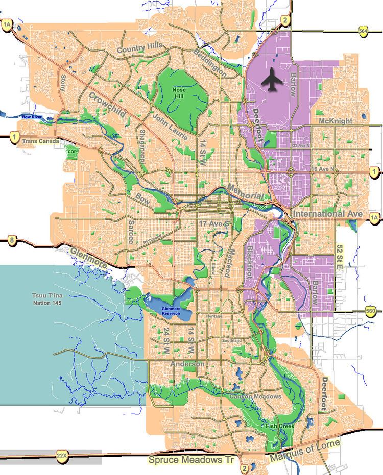
Map of Kelvin Grove, Calgary, AB, Canada
Kelvin Grove was established as a neighbourhood in 1957. It is represented in the Calgary City Council by the Ward 11 councillor.
Demographics
In the City of Calgary's 2012 municipal census, Kelvin Grove had a population of 7003234300000000000♠2,343 living in 7002903000000000000♠903 dwellings, a 0.4% increase from its 2011 population of 7003233400000000000♠2,334. With a land area of 0.8 km2 (0.31 sq mi), it had a population density of 2,930/km2 (7,600/sq mi) in 2012.
Residents in this community had a median household income of $52,468 in 2000, and there were 12.3% low income residents living in the neighbourhood. As of 2000, 18.5% of the residents were immigrants. A proportion of 53.9% of the buildings were condominiums or apartments, and 42.7% of the housing was used for renting.
Education
The community is served by Chinook Park Bilingual Elementary and Henry Wise Wood Senior High public schools.