
OS grid reference NY552144 Post town PENRITH Local time Saturday 8:48 PM | Sovereign state United Kingdom Postcode district CA10 Dialling code 017683 | |
 | ||
Weather 9°C, Wind S at 8 km/h, 97% Humidity | ||
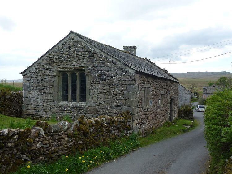
Keld (or Keilde) is a hamlet in the English county of Cumbria. It lies within the civil parish of Shap.
Map of Keld, Penrith, UK
On the banks of the River Lowther it is a mile southwest of Shap and falls within that village's civil parish, Shap Abbey is nearby. Keld's medieval chapel in noted for its unusual simplicity.
References
Keld, Cumbria Wikipedia(Text) CC BY-SA