
Population 2,540 (2011 census) Keilor Park Airport West Postal code 3042 | Postcode(s) 3042 Area 3.3 km² | |
 | ||
Location 17 km (11 mi) from Melbourne | ||
Keilor Park is a suburb 17 km north-west of Melbourne, Victoria, Australia. Its local government area is the City of Brimbank. At the 2011 Census, Keilor Park had a population of 2,540.
Contents
Map of Keilor Park VIC 3042, Australia
Keilor Park is bounded in the west by the Maribyrnong River, Tullamarine & Melbourne Airport in the north, in the east by Steele Creek, and in the south by the Calder Freeway.
According to the 2001 ABS Census, 39% of the population is of Italian or Greek descent. The median age of the area is 37, though more of the population is below 35 or in their 50s. The most common sector of employment for men is manufacturing (25% of men) and for women retail (21% of women).
The suburb contains the Keilor Botanic Gardens.
Transport
Sport
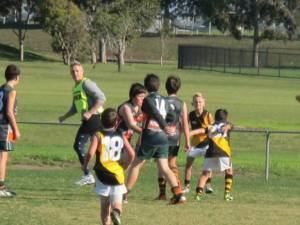
Keilor Park has a number of ovals and sports located in its area. Sports include cricket, football, softball, athletics, tennis, soccer, basketball.
Keilor Park Football Club, an Australian Rules football team, competes in the Essendon District Football League.