
Country United States Time zone CST (UTC-6) Area 94.3 km² Population 604 (2010) | Established November 6, 1849 Elevation 197 m Local time Saturday 10:10 AM | |
 | ||
ZIP codes 62320, 62349, 62351, 62380 Weather -2°C, Wind NE at 10 km/h, 49% Humidity | ||
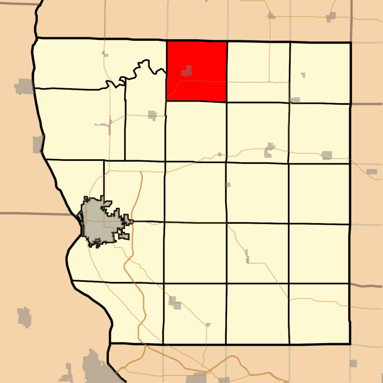
Keene Township is one of twenty-two townships in Adams County, Illinois, United States. As of the 2010 census, its population was 604 and it contained 283 housing units.
Contents
- Map of Keene Township IL USA
- Geography
- Cities
- Unincorporated towns
- Cemeteries
- Major highways
- Airports and landing strips
- School districts
- Political districts
- References
Map of Keene Township, IL, USA
Geography
According to the 2010 census, the township has a total area of 36.4 square miles (94 km2), of which 36.27 square miles (93.9 km2) (or 99.64%) is land and 0.14 square miles (0.36 km2) (or 0.38%) is water.
Cities
Unincorporated towns
(This list is based on USGS data and may include former settlements.)
Cemeteries
The township contains four cemeteries: Curless, Loraine New, Loraine Old and Woodville.
Major highways
Airports and landing strips
School districts
Political districts
References
Keene Township, Adams County, Illinois Wikipedia(Text) CC BY-SA