
OS grid reference SW 810 427 Dialling code 01872 | Civil parish Kea Local time Saturday 2:01 PM | |
 | ||
Population 1,482 (Civil Parish, 2011 including Baldhu , Bissoe , Calenick , Chapel , Come-to-Good and Coombe) Weather 12°C, Wind SE at 10 km/h, 94% Humidity | ||
Kea (Cornish: Sen Ke) is a civil parish and village in Cornwall, England, United Kingdom. It is a "large straggling parish" in a former mining area south of Truro.
Contents
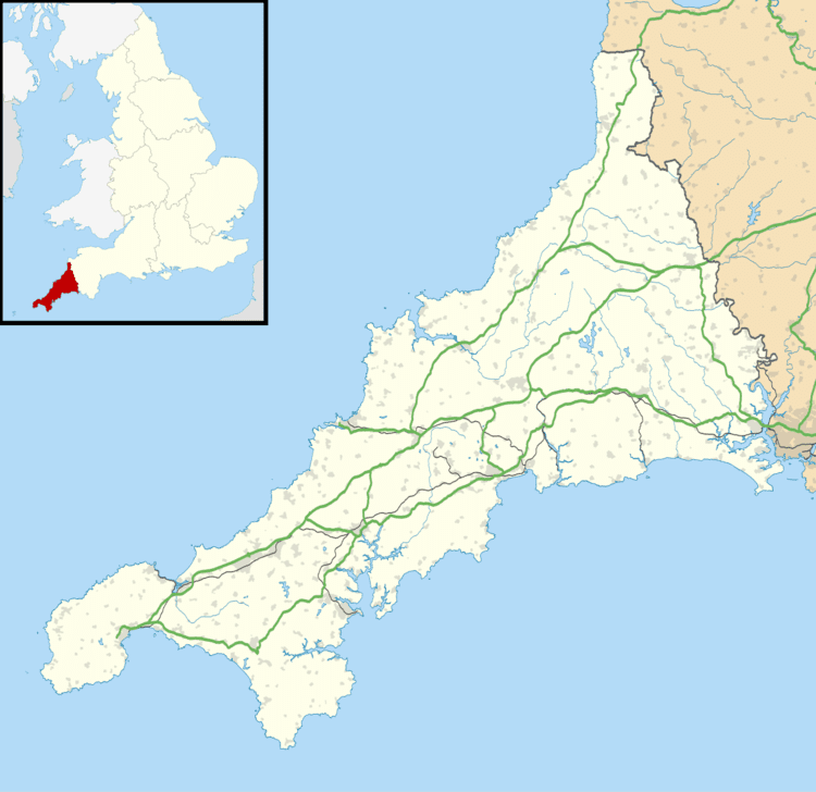
Map of Kea, UK
Kea village is situated just over one mile (1.6 km) southwest of Truro.
Old Kea is situated two miles (3 km) to the east on the west bank of the Truro River at grid reference SW 843 417. St Kea reputedly landed at Old Kea on his first visit to Cornwall and established a church there, which was the parish church until replaced by All Hallows.
Today, the parish is mainly agricultural, and is noted for giving its name to the damson-type Kea plum. It is bounded to the north by Calenick Creek and Truro civil parish; to the east by the Truro River and River Fal; to the south by the parishes of Feock, Perranarworthal and Gwennap; and to the west by Kenwyn. Other settlements in the parish include Calenick, Come-to-Good, Killiow, Nansavallan, Playing Place and Porth Kea.
Kea was described in 1870–72, John Marius Wilson's Imperial Gazetteer of England and Wales (1870) as:
Churches and schools
All Hallows church is in Kea village at grid reference SW 809 426. It was built in 1895 to replace a church of 1802 which was the work of James Wyatt. The church has a steep tiled roof and a lead spire. The font is Norman and of the Altarnun type. This present church was consecrated 4 June 1896. The church of St Kea at Old Kea was the parish church until All Hallows was built. Later, the church at Old Kea was pulled down and only the tower remains today. A small chapel now stands beside the ruined medieval tower and services are held there twice a month
Kea Monastery was a monastery probably at Kea of which little is known. "The mysterious land-owning monastery of St Cheus mentioned in Domesday (in Powder), 1085, possibly refers to Kea."—Charles Henderson, in Cornish Church Guide, 1925, p. 116.
There is a school in the parish, Kea Community Primary School, which caters for 200 pupils aged between 4 and 11 years. The school stands at a crossroads half-a-mile (1 km) east of Kea village at SW 818 425
Houses
At Calenick and Killiow are 18th-century houses of two storeys. Calenick House contains remains of a much older building; it is of seven bays and there is a separate clock tower with a cupola, dated 1752. Killiow House is somewhat later and was extended c. 1850. The latter was once the home of Theophila Gwatkin (née Palmer; 1757–1848) and Robert Lovell Gwatkin (1757–1843).
A Quaker Meeting House opened in Come-to-Good, Kea, in 1710.