
Opening date 2005 Height 45 metres (148 ft) Operator State Hydraulic Works | Impounds Ayfinar Deresi Total capacity 0.117 km (0.028 cu mi) Construction began 1993 | |
 | ||
Dam volume 1,853,000 m (65,400,000 cu ft) People also search for Dumluca Dam, Seve Dam, Kozağacı Dam | ||
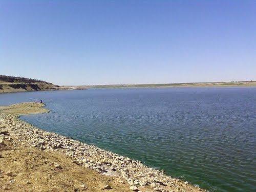
The Kayacık Dam impounds the Ayfinar Deresi, one of the two streams that join south of Gaziantep to form the Sajur River. It is located in Gaziantep Province, Turkey. The dam was constructed between 1993 and 2005 as part of the Southeastern Anatolia Project (Turkish: {{{1}}}Güneydoğu Anadolu Projesi, or GAP). It is 45 metres (148 ft) high and has a volume of 1,853,000 cubic metres (65,400,000 cu ft). The reservoir created by the Kayacık Dam has a surface area of 11 square kilometres (4.2 sq mi) and a volume of 0.117 cubic kilometres (0.028 cu mi) and is used to irrigate an area of 200 square kilometres (77 sq mi).
Map of Kayac%C4%B1k Mahallesi, Kayac%C4%B1k Dam, 27900 O%C4%9Fuzeli%2FGaziantep, Turkey
References
Kayacık Dam Wikipedia(Text) CC BY-SA